The Thames River is a 15-mile long river in Connecticut. The river attracts a lot of anglers because of its great fishing conditions.
Thames River is located in Connecticut, US, United States.
If you're planning to go fishing at Thames River, it's essential to be aware of the local
fishing regulations in the
US area. These regulations are in place to protect the environment and ensure a sustainable fishing experience.
Here, you can find a detailed fishing map highlighting local fishing spots around Thames River,
US,
United States.
Additionally, a weather and fishing forecast will give you an idea of ideal fishing conditions based on temperature, tides, moon phases, fish activity, and more.
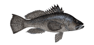
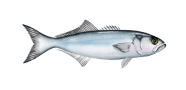
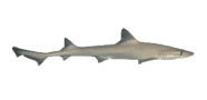
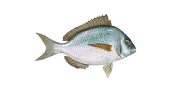
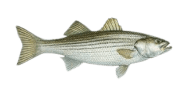
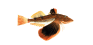
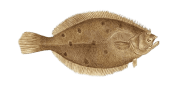
When fishing in US waters, including Thames River, anglers often come across species like
Black crappie,
Bluegill,
Brook trout,
Brown trout,
Chain pickerel, as well as many others that inhabit local lakes and rivers.
Fishing regulations in US may change each season. To stay up to date, check the current rules before you go. They define catch limits, maximum allowable fish sizes, and other important rules.
Make sure you also have an active
Connecticut fishing license before you start your fishing adventure.
Thames River fishing map
Discover the Thames River fishing map to explore key locations and best fishing spots near Connecticut, including the area around 41°23'45.6"N 72°5'49.6"W.